So, I went for a nice solo ride this Thursday. If you're familiar with the area, I parked on Foothill Blvd and Santa Anita, rode from Monrovia Canyon Park, past White Saddle, to Rincon Shortcut, to the Gabrieleno Trail, down to Chantry Flat and then back too Foothill. Including two missed turns and based on GPS tracks from other people, it was about 33 miles and maybe a bit over 5000 ft of climbing. Took me about 5.5 hours with stops.
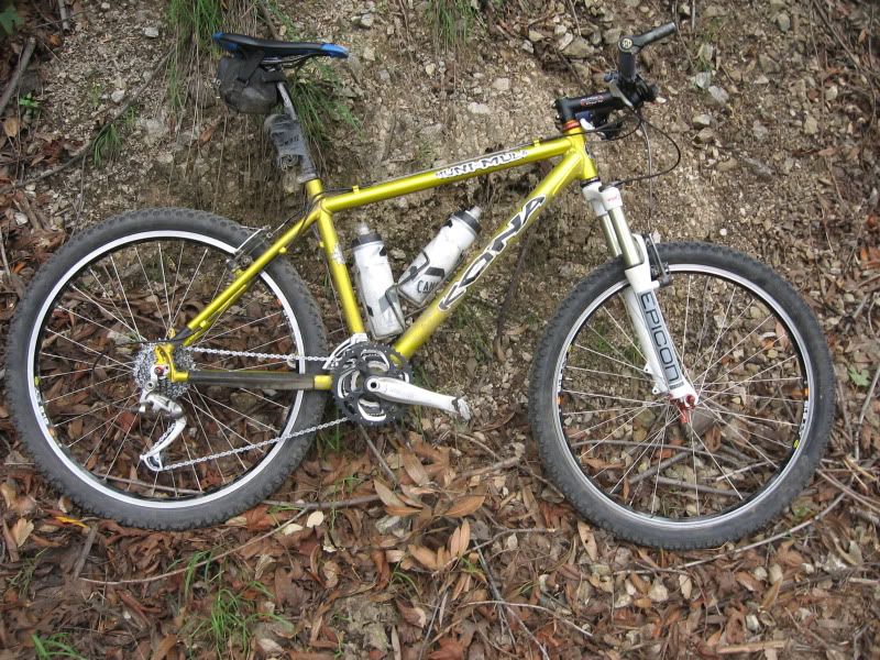
Added new tires last week and rebuilt the fork last night- all ready to go.
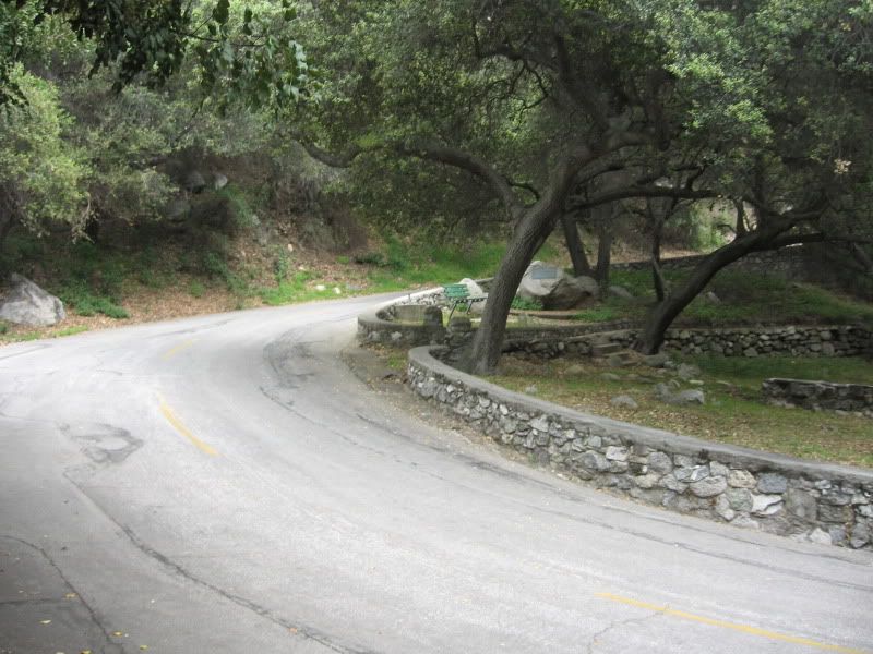
Starting out on Monrovia Canyon on pavement. Went to the top of the park when I should have turned pretty close to the bottom. Whoops.
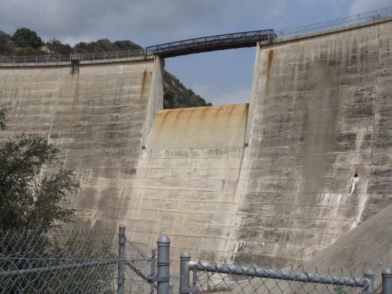
Passed a dam on the way up
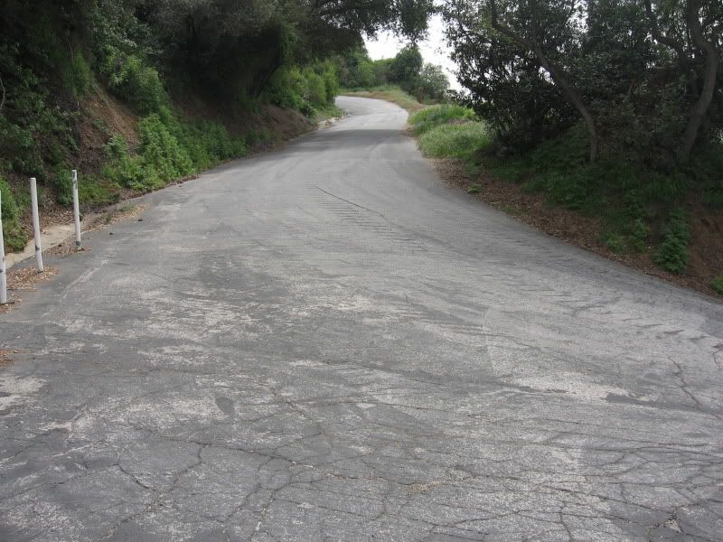
Road pitched up pretty steep as it climbed to the dam and past it
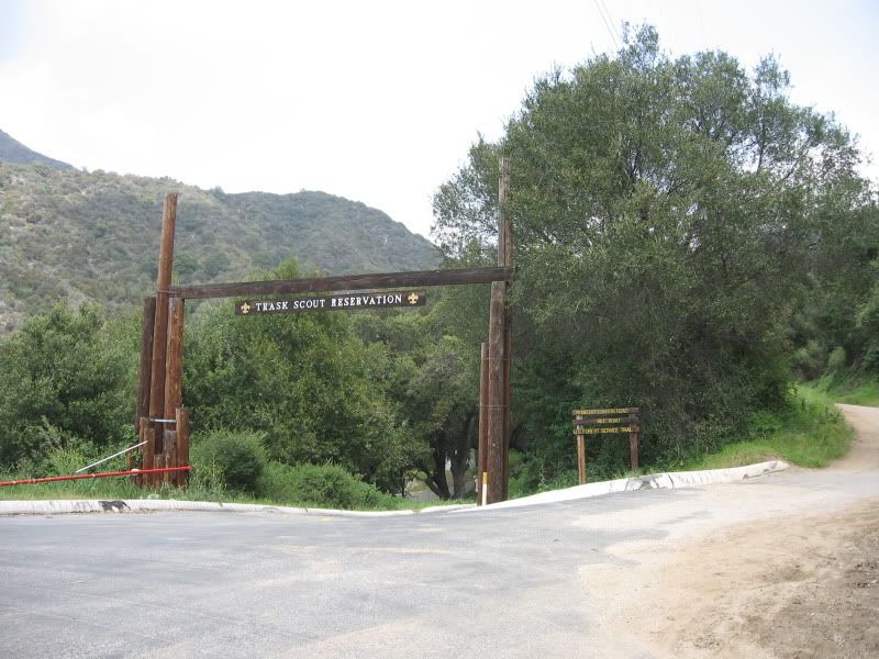
Boy Scout camp on the way up; road turns to dirt here.
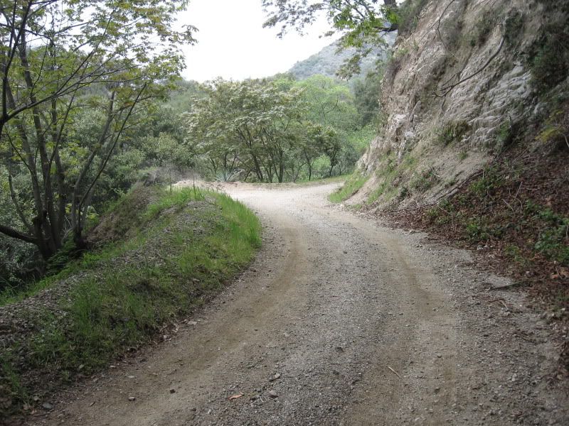
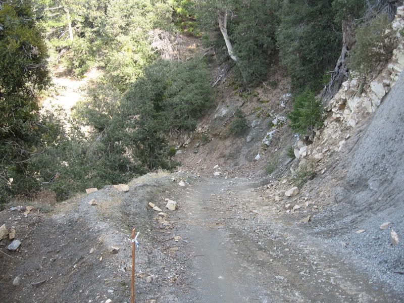
Basically, things looked like this for the next 8-9 miles.
It was a long climb, but thankfully not particularly steep; just steady climbing.
Some sun, some clouds. It definitely got colder as I climbed. At the bottom, it was about 70 degrees; at the top, I had on a hat, knee/arm warmers and a vest so there was probably a 20 degree difference. Felt like more than that at some points.
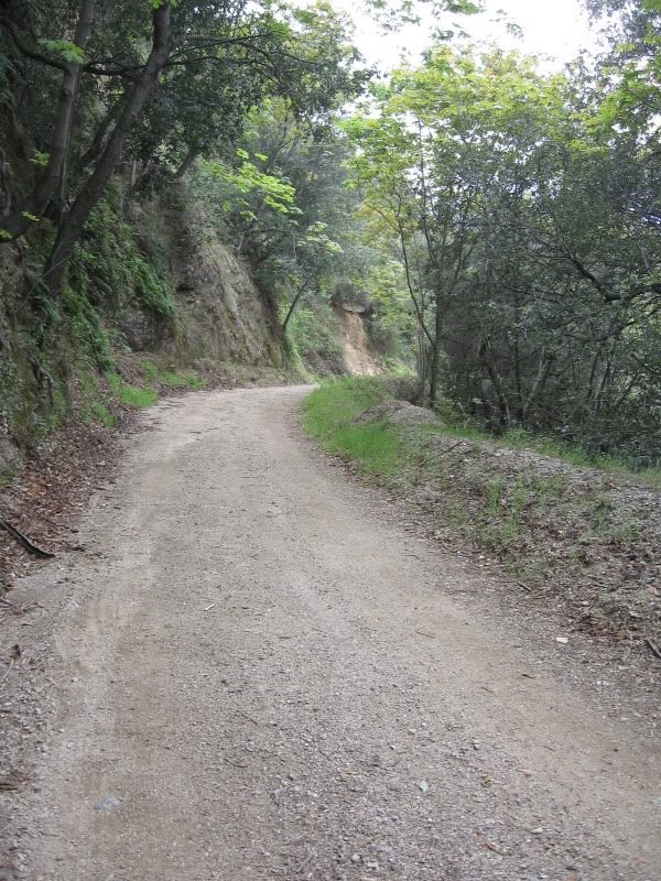
Getting a bit greener as the road winds its way up.
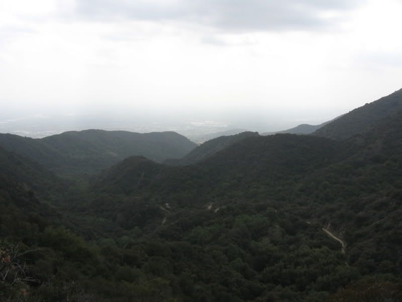
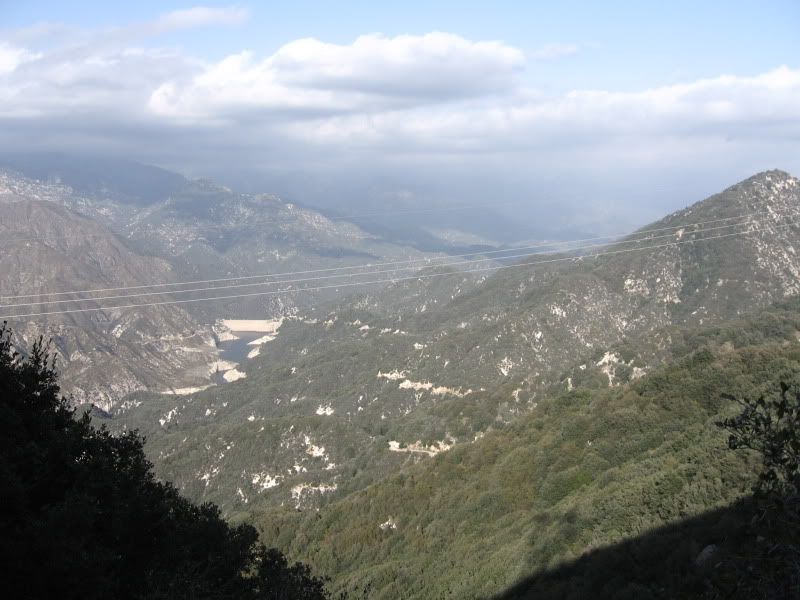
View off the back at White Saddle. At this point, there were lots of signs telling me I was in an "environmentally sensitive area" and should talk to some manager before proceeding. Since the signs were very vague, placed in the middle of nowhere in the forest and appeared to be from the power company (the people who put up the 200ft steel towers in this "sensitive area") rather than the Forest Service, I did not feel compelled to stop.
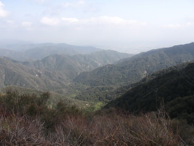
Onto Rincon Shortcut. Basically, after 10 or so miles of climbing, you get on top of the ridge and the road goes up and down, back and forth along it. Road was a little less smooth here.
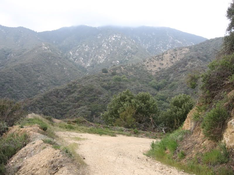
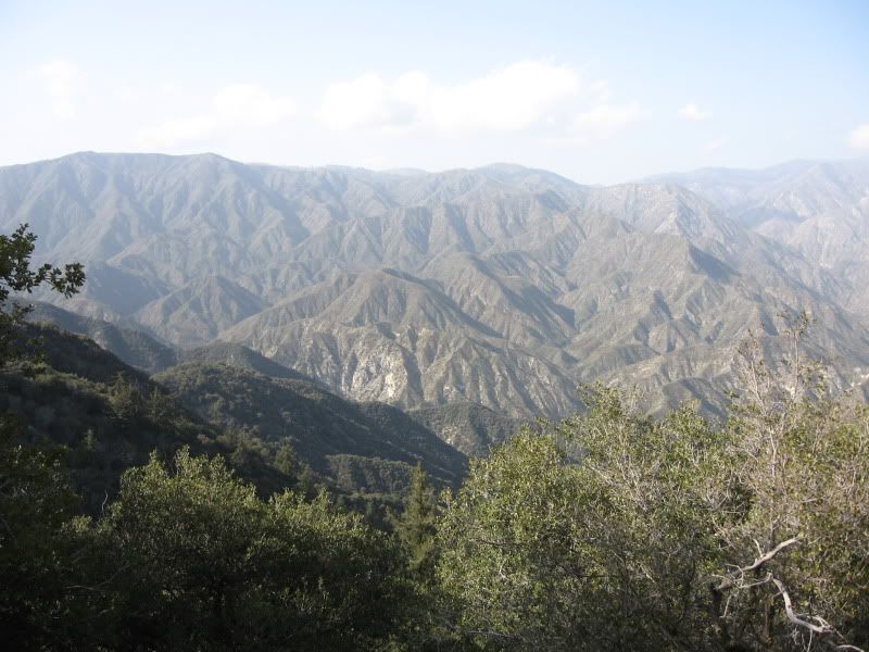
View from the top of the ridge
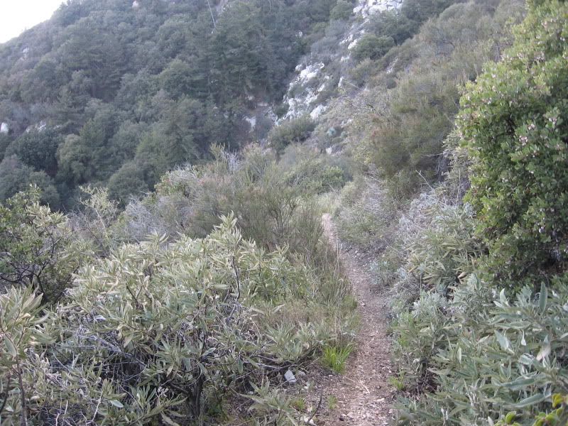
So I went slightly the wrong way. Not a problem since the trail I wanted to take also intersects the road I was on. Only issue was that the section of trail I added to the ride is very seldom used, fairly steep and covered with soft dirt, leaves and acorns. After about 20+ miles of riding, I ended up walking most of the uphill.
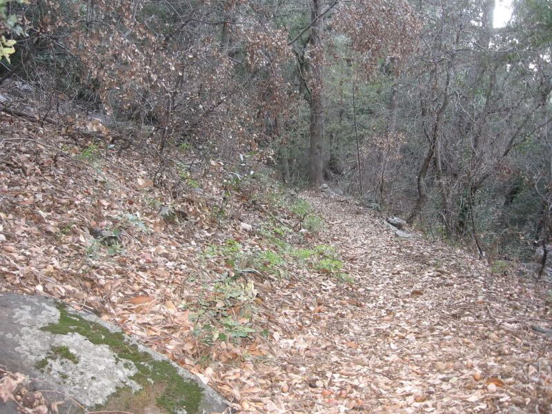
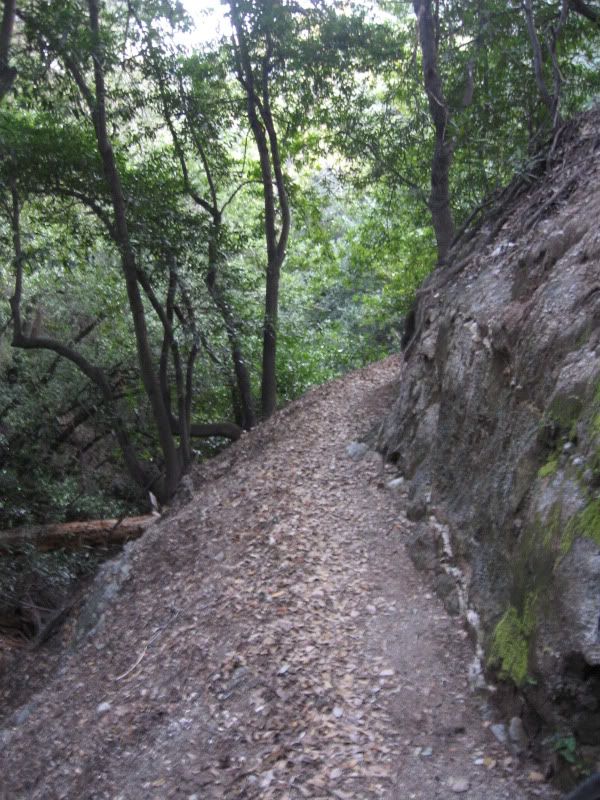
After that was about 6 miles of nice singletrack back down.
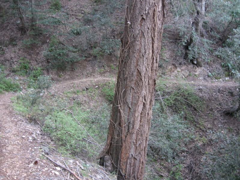
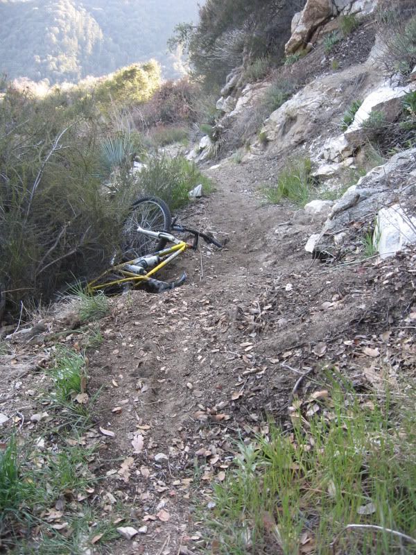
So, I had two minor crashes on the way down. Once, the front tire knocked out a loose rock on a tight switchback and I fell over. The other one was potentially more serious, as the slope on the left of the trail was fairly severe. It's hard to see from the photo, but there was a mound of very soft dirt and then after it part of the trail had washed out, leaving only a few inches of trail to ride. I saw this too late (and was going a bit too fast, especially on a trail I had never seen before) and the rear wheel slid off the trail. Luckily, the bushes stopped it and half of me was still on the trail.
Fun stuff. Had another incident on a section much like this one; was going pretty fast and the outside of the bar end scraped the rock wall. Good reminder to take it easy.
The six mile DH with tight switchbacks, loose rocks, plus a few of these reminded me why they don't sell decent bikes with v-brakes anymore (or 120mm stems, for that matter).

After the singletrack was a short road section to Chantry Flat (looking at the map later, it seems there was a trail I could have taken). I assumed from a glance at the map that this was all downhill; the reality was quite the opposite. Well, at least after that it was a nice fast cruise down to the car and, after that, a cheeseburger.
Added new tires last week and rebuilt the fork last night- all ready to go.
Starting out on Monrovia Canyon on pavement. Went to the top of the park when I should have turned pretty close to the bottom. Whoops.
Passed a dam on the way up
Road pitched up pretty steep as it climbed to the dam and past it
Boy Scout camp on the way up; road turns to dirt here.
Basically, things looked like this for the next 8-9 miles.
It was a long climb, but thankfully not particularly steep; just steady climbing.
Some sun, some clouds. It definitely got colder as I climbed. At the bottom, it was about 70 degrees; at the top, I had on a hat, knee/arm warmers and a vest so there was probably a 20 degree difference. Felt like more than that at some points.
Getting a bit greener as the road winds its way up.
View off the back at White Saddle. At this point, there were lots of signs telling me I was in an "environmentally sensitive area" and should talk to some manager before proceeding. Since the signs were very vague, placed in the middle of nowhere in the forest and appeared to be from the power company (the people who put up the 200ft steel towers in this "sensitive area") rather than the Forest Service, I did not feel compelled to stop.
Onto Rincon Shortcut. Basically, after 10 or so miles of climbing, you get on top of the ridge and the road goes up and down, back and forth along it. Road was a little less smooth here.
View from the top of the ridge
So I went slightly the wrong way. Not a problem since the trail I wanted to take also intersects the road I was on. Only issue was that the section of trail I added to the ride is very seldom used, fairly steep and covered with soft dirt, leaves and acorns. After about 20+ miles of riding, I ended up walking most of the uphill.
After that was about 6 miles of nice singletrack back down.
So, I had two minor crashes on the way down. Once, the front tire knocked out a loose rock on a tight switchback and I fell over. The other one was potentially more serious, as the slope on the left of the trail was fairly severe. It's hard to see from the photo, but there was a mound of very soft dirt and then after it part of the trail had washed out, leaving only a few inches of trail to ride. I saw this too late (and was going a bit too fast, especially on a trail I had never seen before) and the rear wheel slid off the trail. Luckily, the bushes stopped it and half of me was still on the trail.
Fun stuff. Had another incident on a section much like this one; was going pretty fast and the outside of the bar end scraped the rock wall. Good reminder to take it easy.
The six mile DH with tight switchbacks, loose rocks, plus a few of these reminded me why they don't sell decent bikes with v-brakes anymore (or 120mm stems, for that matter).
After the singletrack was a short road section to Chantry Flat (looking at the map later, it seems there was a trail I could have taken). I assumed from a glance at the map that this was all downhill; the reality was quite the opposite. Well, at least after that it was a nice fast cruise down to the car and, after that, a cheeseburger.